NCC 250k Topographic Maps of Iran
NCC 250k Topographic Maps of Iran
| Digital Collection Type | Map |
|---|
| Publisher | Sāzmān-i Naqshahʹbardārī-i Kishvar (NCC) [سازمان نقشهبرداری کشور] |
|---|
| Scale | 1:250,000 |
|---|
| Language | Persian |
|---|
| Permalink | https://www.opars.com/collection/ncc-250k-topographic-maps-of-iran/ |
|---|
Catalogue, List of sheets, Sample
Sample file
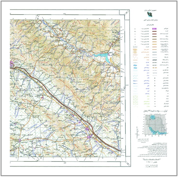
The NCC 250k Topographic Maps of Iran provide a detailed view of Iran’s diverse landscapes, ideal for environmental planners, resource managers, and those passionate about geography. Featuring a collection of 77 individual map sheets, these maps offer valuable topographic information at a scale of 1:250,000. These maps are published in Persian and available in 300dpi raster PDF format and offer a reliable and authentic view.