
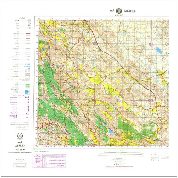
 Download Sample
 NGO 500k Topographic Maps of Iran (Series K452)
NGO 500k Topographic Maps of Iran (Series K452) is a digital collection of topographic map sheets covering Iran at a scale of 1:500,000, published in Tehran by Sāzmān-i Jughrāfiyāʼī-i Nīrūhā-yi Musallaḥ (NGO), the Geographical Organisation of the Armed Forces, between 1991 and 2004 A.D. A total of 41 sheets are available. The maps provide broad regional topographic coverage and depict physical and geographical features including terrain, settlements, roads and transport routes, hydrography and other mapped features. Designed for reference and research use, the collection is particularly useful for scholars working in Iranian studies, geography, history, regional studies and related disciplines. The maps are supplied in digital format for convenient consultation, comparison and archival research. Available as individual sheets or as a complete collection.